Discovery of the Akamani
The first ascent of the Akamani was performed by Ichiro Yoshizawa in 1961.
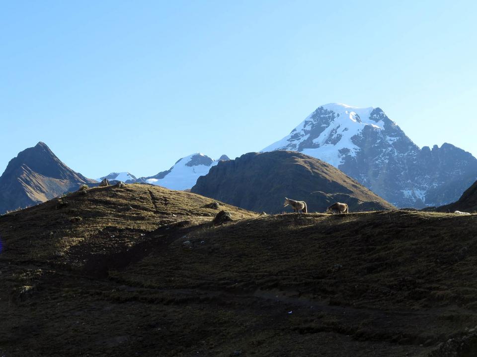
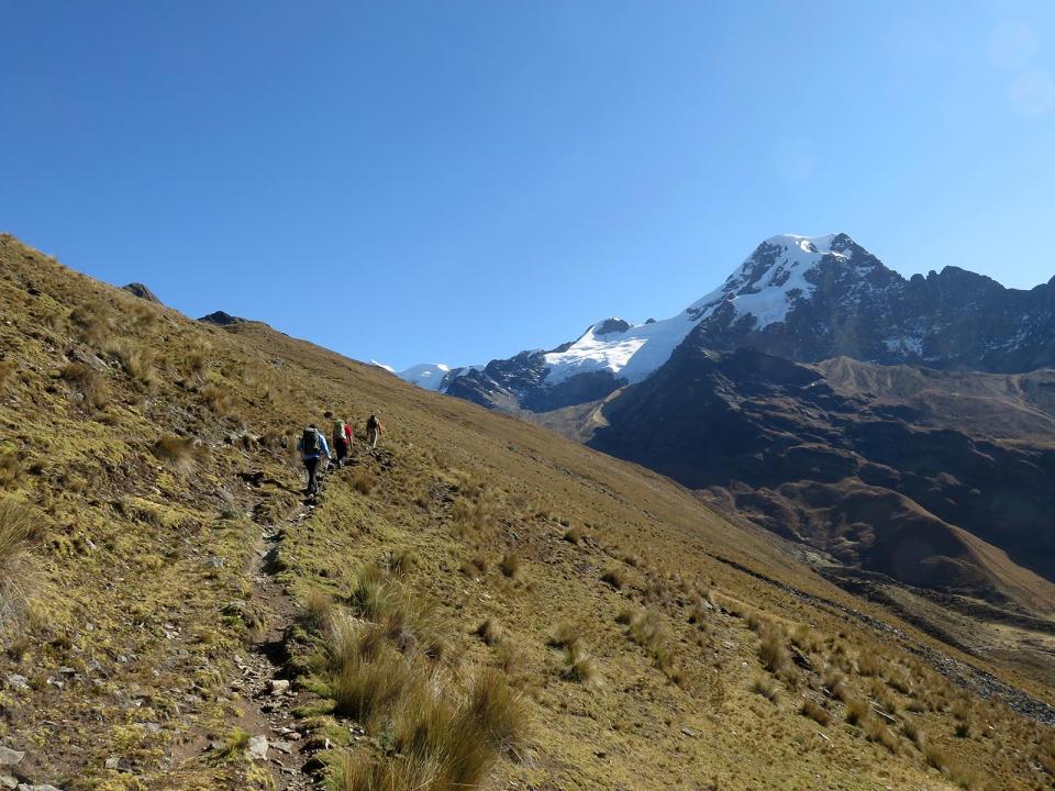
This glacier massif is located in the extreme south of the Apolobamba Cordillera. Like the trek of the Cordillera Apolobamba crossing, you will need one day by car to get to this mountain chain and reach the villages of Charazani then Lagunillas and finally the hamlet of Kanisaya, hidden behind a valley at 3870m of altitude.
From there, it is easy to reach the base camp of the Akamani massif after a short day. The camp is prepared on the moraine, along the glacial lake at 4640 m of altitude.
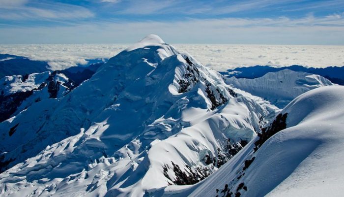
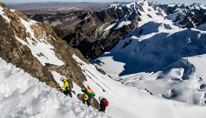
The ascent starts along the lake, from the moraine until a rock bar. The latter will lead you at the edge of a big glacial plateau. From there, the climbing starts towards the Nort-East direction on gentle slopes on the plateau until the foot of the ridge. The slope becomes more steep (50º/55º).
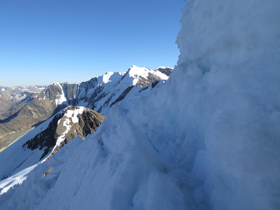
Once on the ridge, you have to turn East to follow to crest until the summit. You will need to pass another rock bar, that you could avoid from below. After that, you will only need to face an ice wall (60º/65º), that will lead you straight ot the summit.
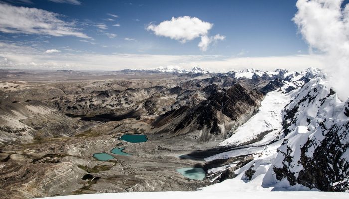
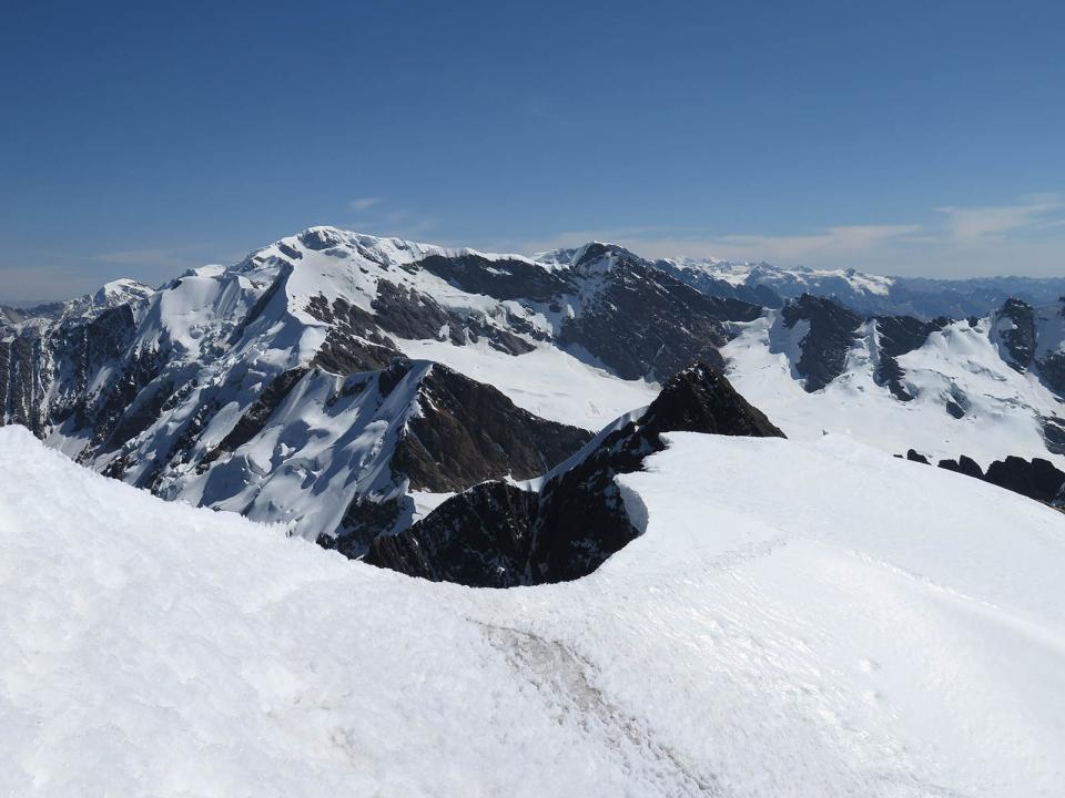
The place is magical and the view clears up on the north side of the Apolobamba Cordillera.
If you have time, it is totally worth to continue by foot towards the North to try other summits of this wild Cordillera : Ullakaya, Cololo, Huanacuni, and why not the Chaupi Orco, the one and only « 6000 » of this mountain chain … but be prepared, that’s what we call a real expedition, for big spaces and adventure lovers !
| Akamani (5.665 m) | Climbs / descents | Walking Time |
|---|---|---|
| Kanisaya – Base camp | +725 m / -35 m | 3 to 4 h |
| Base camp - Summit - Base camp | +850 m / -850 m | 8 to 9 h |
| Base camp - Kanisaya | +35 m / -725 m | 2 to 3 h |