Day 1
LA PAZ – CHARAZANI – LAGUNILLAS (3710 m.a.s.l./18733 feet) – KANISAYA (3870 m.a.s.l./12696 feet)
- Start 6;30 am
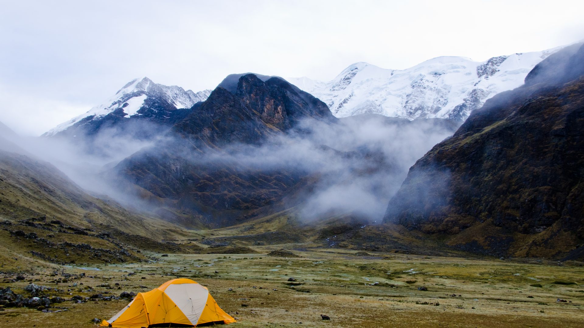
- Accommodation tent
- Meals lunch, dinner
- Transport 9/10h
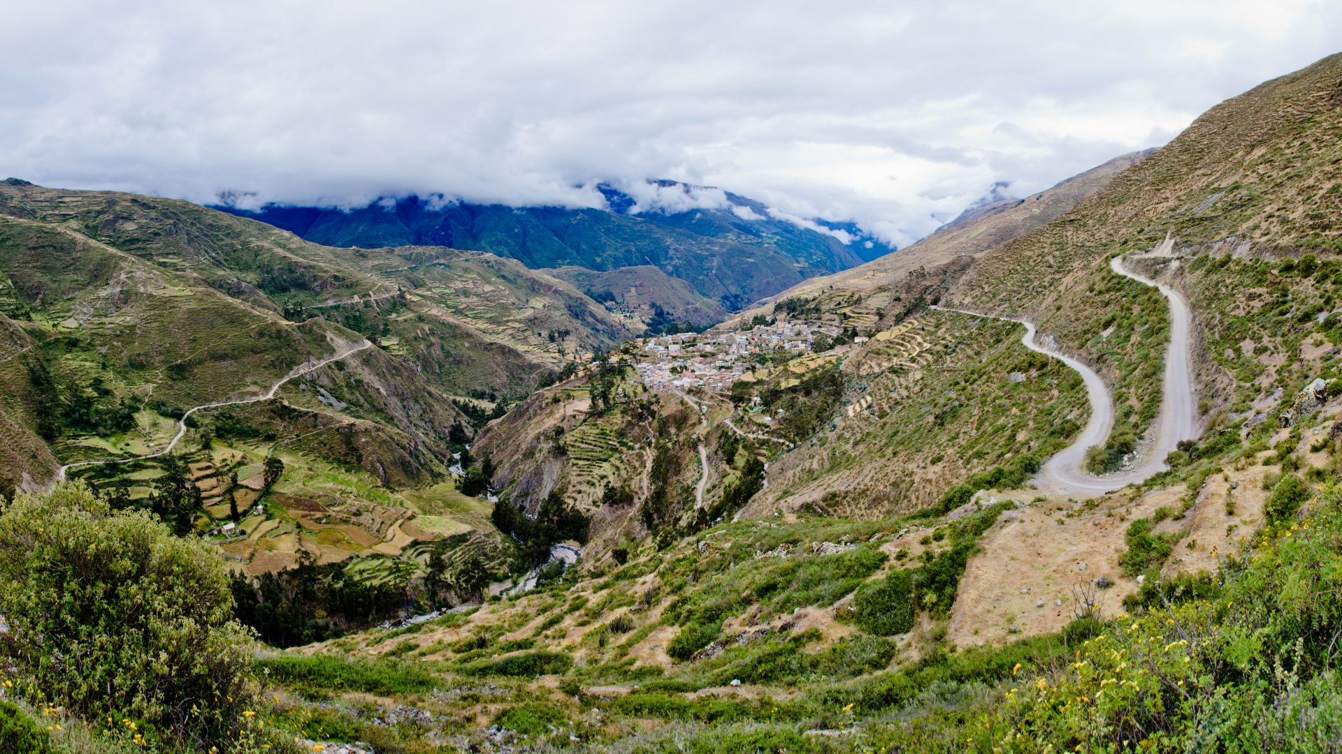
Departure early in the morning for a long trip north to the Apolobamba Cordillera. After following the Titicaca lake shore, many passes and bends leads us to the high plateaux at the foot of the Cordillera. Arrival in the afternoon at Charazani. You can relax in the thermal water (According to time available), before continuing to the village of Lagunillas. Then, we’ll go on in 4WD to the village of Kanisaya (End of the track) which also have a hostel.