Day 1
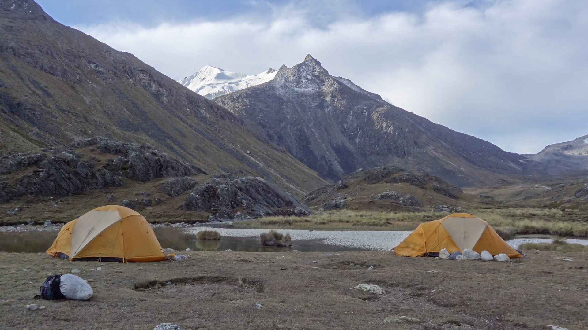
LA PAZ – LAGUNA KHOTIA – LAGUNA JANQ’U QUTA ( 4715 m.a.s.l./15470 feet)
- Start 8:00 am
- Accommodation tent
- Meals lunch, dinner
- Transport 4h
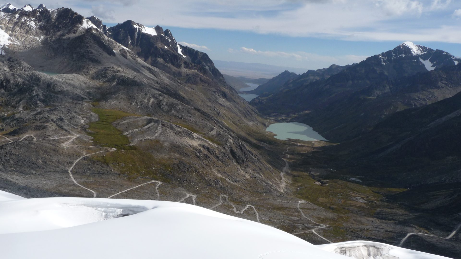
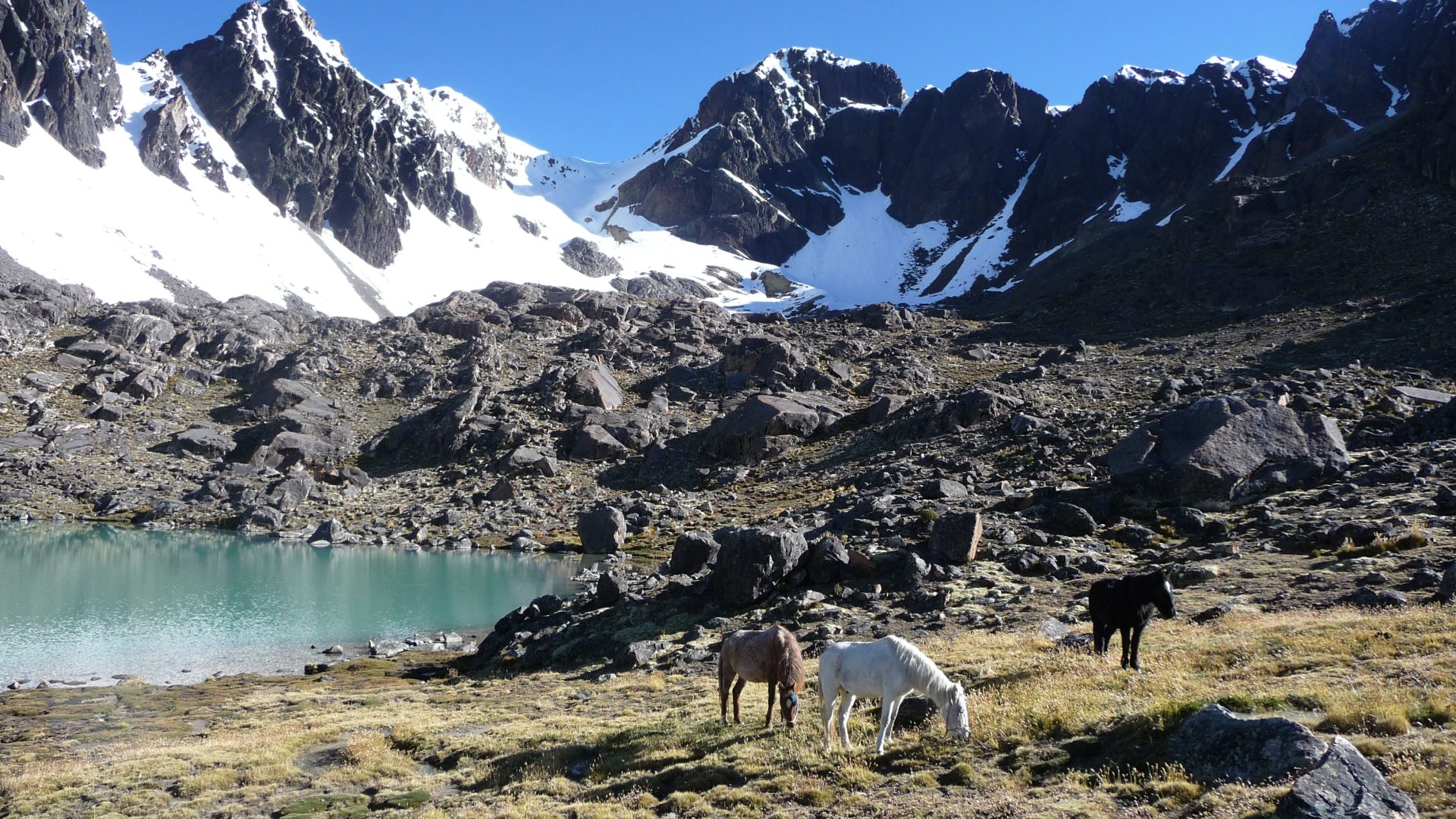
Transfer in 4WD vehicle (About 4 hours drive) from La Paz to Khotia Lake. We continue North-East to Janq’u Quta Lake ( 4715 ma.s.l./15470 feet) at the foot of Mullu pass. We set up the camp close to the lake. The base camp of Janq’u Uyu is a bit further up, around 4900 m.a.s.l./16076 feet close to a pass. But this place is very windy, and it is more convenient to camp down there in a sheltered place and go up with a vehicle in the night to the pass. Camp and rest.