Trekking in the Quimsa Cruz

The complete tour of Quimsa Cruz allows you to discover a multitude of lagoons with surprising colors, a universe of rock walls and also glacial massifs … a very pleasant trek also allowing to meet miners and share an special encounter. An original and original trek!

Overview :

Length of stay :

10 days on the spot.

Transport :

Spanish speaking driver and private vehicle

Entry of the sites :

Included

Guide :

Spanish speaking trekking guide

Altitude of the journey:

from 3600 m asl à 5195 m asl

Best moment of year :

from May to August

Request a custom quote, free and without commitment: Get free quote

Steps and highlights:

Main steps:

Day 1

Day 2

Day 3

Day 4

Day 5

Day 6

Day 7

Day 8

Day 9

Day 10

Highlights:

  • South of the Royal Cordillera rises the Quimsa Cruz cordillera, renowned for its mining operations, but also its granite walls which attract rock climbing fanatics. But we don’t just climb in Quimsa Cruz, we can also “trek”.
  • Unique trekking tour of the Quimsa Cruz Cordillera chain
  • Exceptional views of the glacial massifs
  • Splendid lagoons with multiple colors
  • Meeting with communities of miners of the area

Day 1 : LA PAZ - PATACAMAYA - VILOCO - VILOCO CAMP

More infos
Departure :

07:00 am

Accommodation :

tent

Meals included :

lunch, dinner

Altitude :

entre 3.600 masl and 4.450 masl

Time of transport :

8-9 h

Walking time :

1h

LA PAZ - PATACAMAYA - VILOCO - VILOCO CAMP

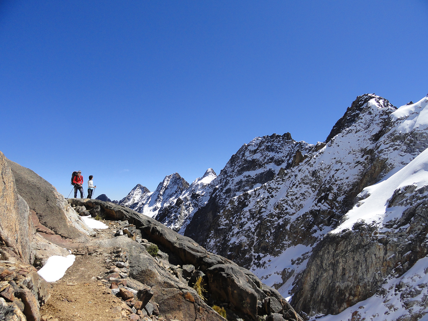
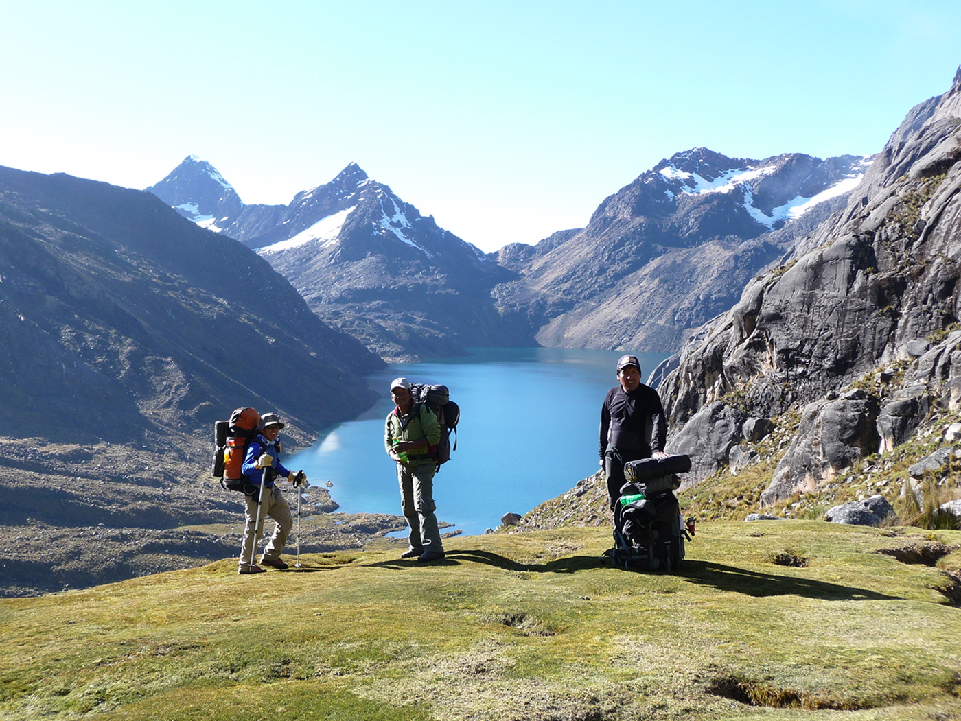
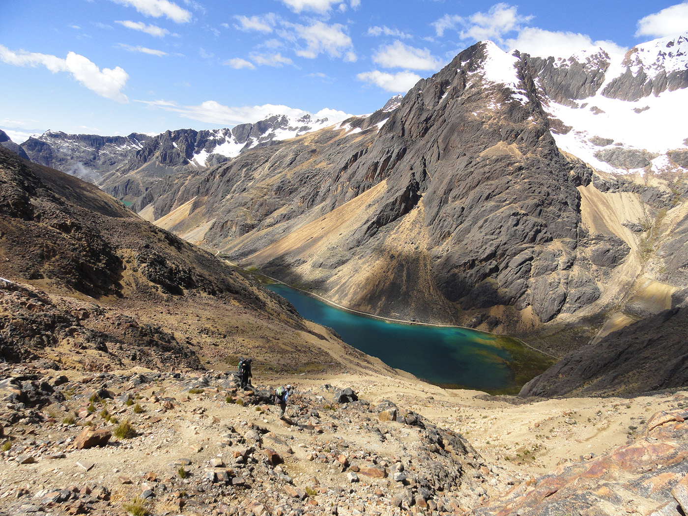
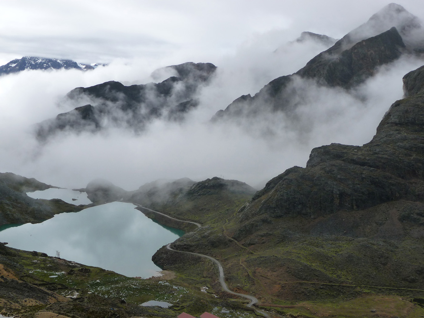
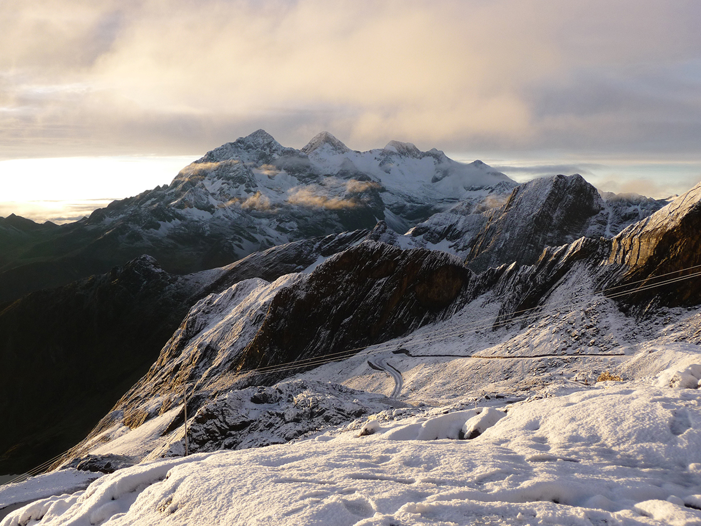
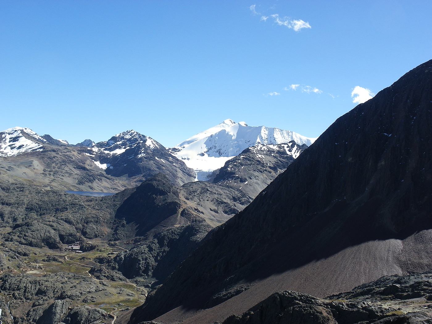
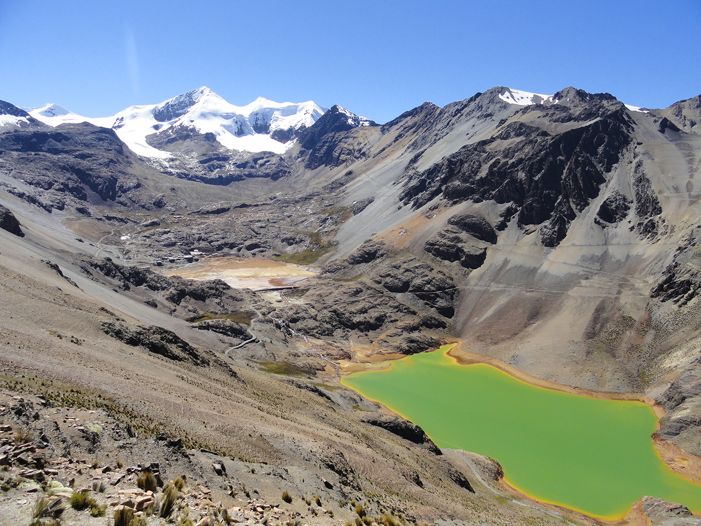
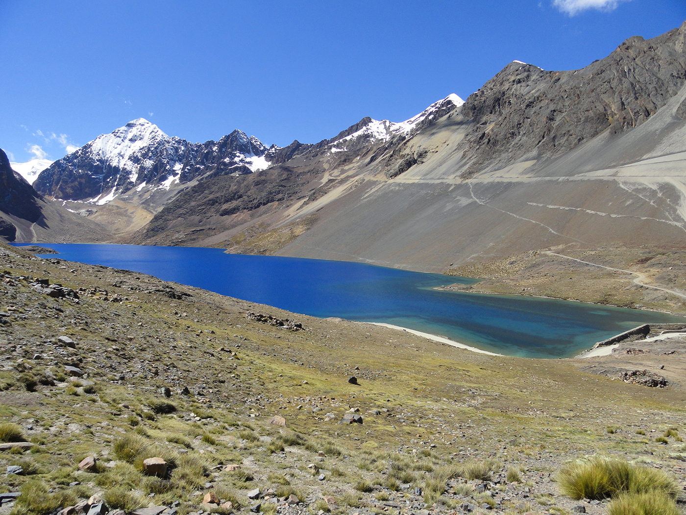
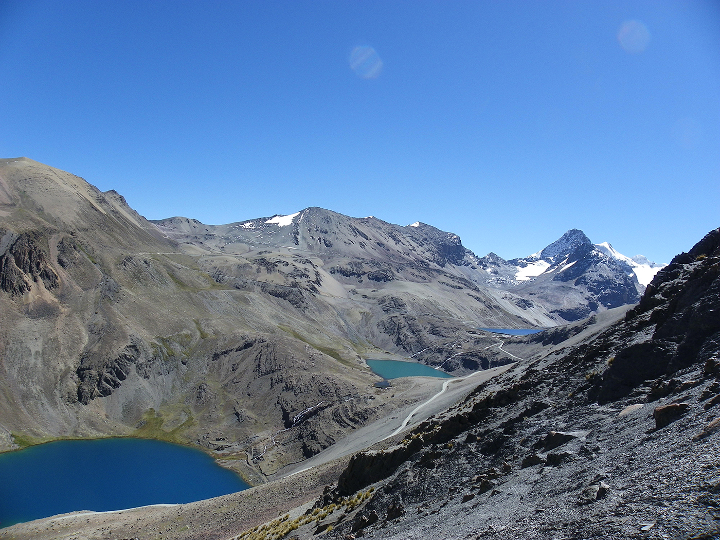
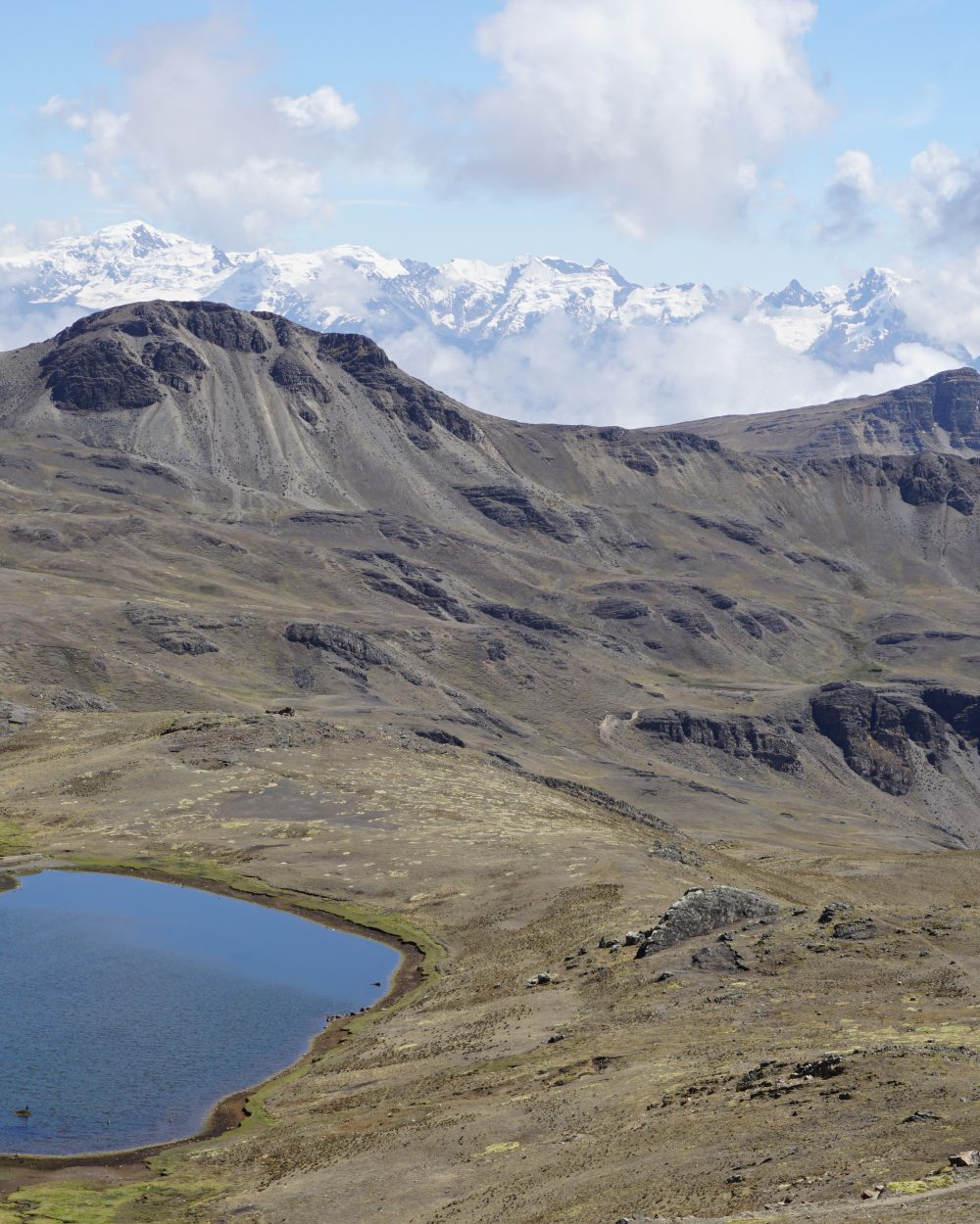
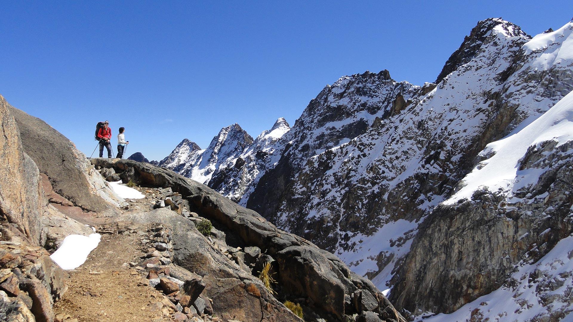
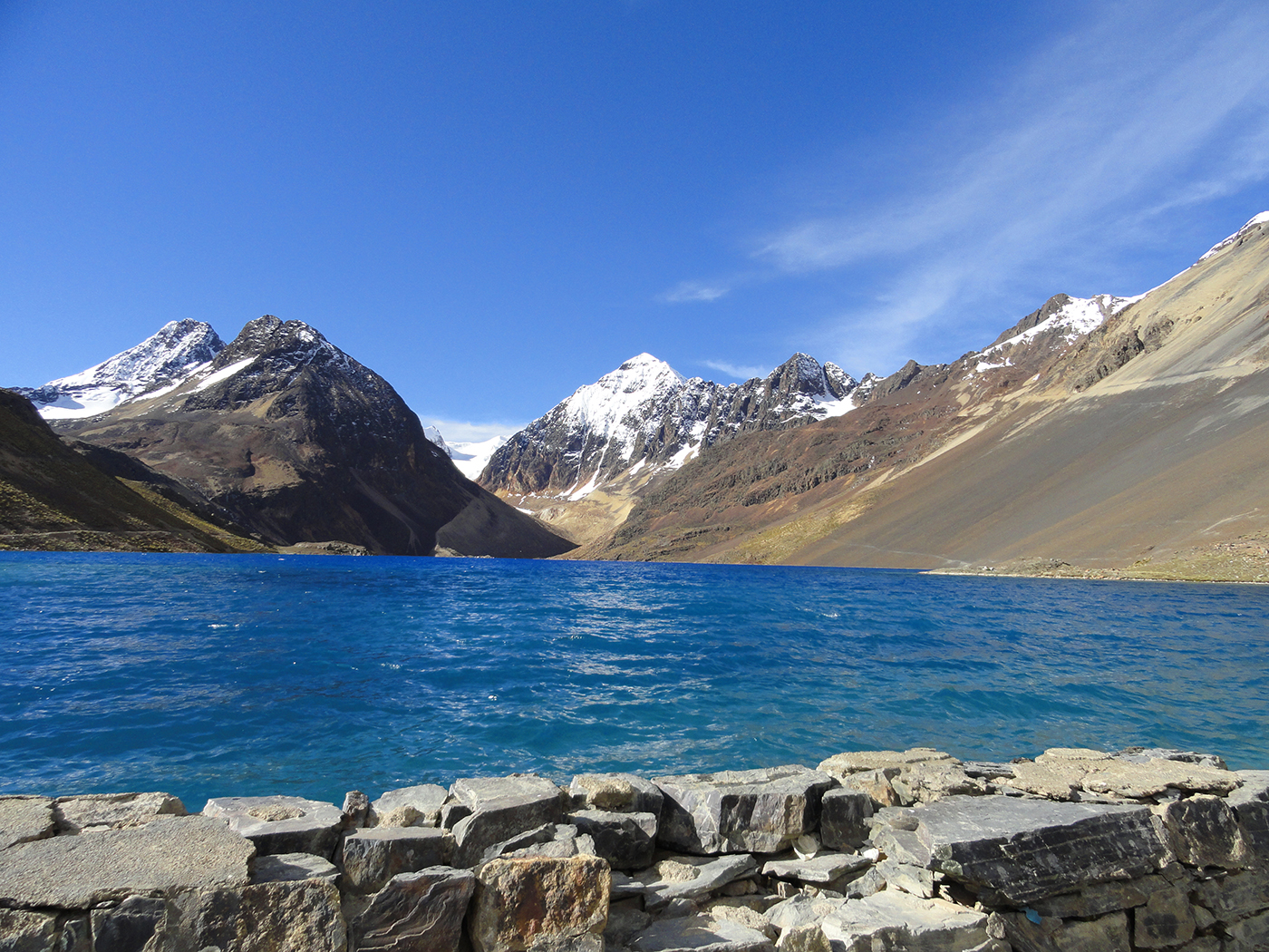
Early in the morning, departure to the Quimsa Cruz Cordillera, south of La Paz. After crossing Patacamaya, we reach the south-eastern part of this mountain range. We follow it to the north-east, by car, to the mining village of Viloco. On the way, we will start to guess which treasures hide this cordillera. The views on the glaciers and lakes with blue shades are already impressive. From Viloco, we start our trek warming up with an ascent south-east, in the valley overlooking the village. The way up is progressive in this large valley. We pass by a large mining exportation and further on set up our camp around 4450 m of altitude.

Special information :
height difference: +200m

Day 2 : VILOCO CAMP - PASO SALVADORA - CASCADA

More infos
Departure :

09:00 am

Accommodation :

tent

Meals included :

breakfast, lunch, dinner

Altitude :

entre 4.450 masl and 4.695 masl

Time of transport :

0

Walking time :

5h

VILOCO CAMP - PASO SALVADORA - CASCADA

We continue our way south-east to the end of the valley. We progress on a beautiful track on a ledge. The views on the surrounding rocky summits and snowy peaks are superb, and help us to smooth this long ascent to the pass. We arrive on a plateau overlooking two valleys leading to another pass. We leave the one on our right to arrive at the foot of a rocky barrier. Passing through the rocks is easy, and we continue on a path carved on the mountainside, and start the last ascent to the Salvadora pass at 5125 m of altitude. We’re left with going down in a quite steep scree, and continue in the valley through a chaos until a flat area at the foot of a waterfall, where we’ll set up the camp.

Special information :
height difference: +680 m/-490 m

Day 3 : CASCADA - PASO BENGALA - LAGUNA CHATAMARCA

More infos
Departure :

09:00 am

Accommodation :

tent

Meals included :

breakfast, lunch, dinner

Altitude :

entre 4.695 masl and 4.840 masl

Time of transport :

0

Walking time :

4h

CASCADA - PASO BENGALA - LAGUNA CHATAMARCA

We continue north-east, on a contour line until the intersection of two valleys. We change direction to south-east, in a perpendicular valley on the right hand side. Sometimes, the path is paved like an old Inca trail. We cross big swampy meadows until 460 m of altitude. Then, the way up is steeper at the foot of the Bengala pass, that we reach walking on a cobbled track that meanders. The arrival at the pass is enchanting. The view opens on the ample Chatamarca Lake, and the Choquetanga glacier above us at 5645 m of altitude. After a long moment enjoying the view, we descend towards the lake to a meadow just above it, at 4840 m. The place is gorgeous for camping.

Special information :
height difference: +495 m/-330 m

Day 4 : LAGUNA CHATAMARCA - LAGUNA MIGUILLA - HUMAJALANTA CAMP

More infos
Departure :

09:00 am

Accommodation :

tent

Meals included :

breakfast, lunch, dinner

Altitude :

entre 4.960 masl and 4.695 masl

Time of transport :

0

Walking time :

5h

LAGUNA CHATAMARCA - LAGUNA MIGUILLA - HUMAJALANTA CAMP

We start the day walking along the beautiful Chatamarca lake shore. We pass close to the water, on a beautiful pass carved in the cliff. Then we walk up un a ledge above rocky barriers. After one hour, we’ll reach a pass at 4960 m of altitude, from where we’ll discover nice turquoise lakes on the other side. The descent is easy to the Cutacucho Lake below. From there, we go back to civilization and in this case, a miner’s universe. If you look carefully at the cliffs, you will see big holes, as many entrances to mining galleries. These mines are linked with certain pollution, and will make you doubt about the natural colour of the lakes. Here, the environmental protection is not a priority... First, they have to make a living. A carriage road takes us to the foot of the village of Caracoles, close to the Miguilla Lake. We then follow the left shore of this beautiful green lake, to the east, before reaching the Humajalanta camp

Special information :
height difference: +600m/-400 m

Day 5 : HUMAJALANTA CAMP - CARACOLES - PACUNI - MINA SANTA ROSA CAMP

More infos
Departure :

09:00 am

Accommodation :

tent

Meals included :

breakfast, lunch, dinner

Altitude :

betweeen 4.695 masl and 4.900 masl

Time of transport :

0

Walking time :

5h

HUMAJALANTA CAMP - CARACOLES - PACUNI - MINA SANTA ROSA CAMP

Today, we’ll change direction to reach the foot of the cordillera, and cross it to its other slope. The way up is fairly easy, to the south, following the carriage track until the Caracoles pass (Alt. 4885 m). From there, we discover a large valley hosting the mining village of Pacuni, and at the distance, the mountain chain which seems impassable. We start descending, go through the village of miners, and reach the lake below at 4500m of altitude. We take the path south-west on our right, which goes up in the valley to the mountains. Once above the village of miners, which looks abandoned, we rise above a rocky barrier on a path which follows the stream until the end of the valley. We pass by the Santa Rosa mine (Alt. 4850 m) before going up to a lake nested at the foot of the Don Luis glacier at 4900 m of altitude. Camp at the foot of Don Luis glacier.

Special information :
height difference: +600m/-400 m

Day 6 : MINA SANTA ROSA CAMP - MINA POLDI CAMP

More infos
Departure :

09:00 am

Accommodation :

tent

Meals included :

breakfast, lunch, dinner

Altitude :

entre 4.900 masl and 4.855 masl

Time of transport :

0

Walking time :

5h

MINA SANTA ROSA CAMP - MINA POLDI CAMP

We start walking south-east, above our camp, to a pass at almost 5200 m of altitude. A nice little lake lays below this pass very close to the Don Luis glacier and often snowy at the beginning of the season. The descent goes through a chaos and leads to the big lake below at 5045 m of altitude. We go up south-east on our right, toward a pass. From there, we go down to the lakes below. A nice meandering path leads us to the village of the Poldi mine. We keep on descending towards a nice lake below the village, before turning left into a glen. We set up the camp next to the stream.

Special information :
height difference: +820 m/-780 m

Day 7 : MINA POLDI CAMP - MINA MONTE BLANCO - LAGUNA ALTARANI

More infos
Departure :

09:00 am

Accommodation :

tent

Meals included :

breakfast, lunch, dinner

Altitude :

entre 4.855 masl and 4.870 masl

Time of transport :

0

Walking time :

6h

MINA POLDI CAMP - MINA MONTE BLANCO - LAGUNA ALTARANI

We take a crossing path, which passes through a hilltop at 4640m of altitude before descending to a valley floor, close to a carriage track. Easy ascent following a large stream. Narrow downriver, the valley gets larger as we gather altitude. Alpaca and lama herds invade the mountain pastures. Finally we reach the Altarani Lake.

Special information :
height difference: +740 m/-450 m

Day 8 : LAGUNA ALTARANI - LAGUNA CHOJÑA KHOTA

More infos
Departure :

10:00 am

Accommodation :

tent

Meals included :

breakfast, lunch, dinner

Altitude :

between 4.870 m asl and 4.850 m asl

Time of transport :

0

Walking time :

4h

LAGUNA ALTARANI - LAGUNA CHOJÑA KHOTA

We keep on going north-west, above the Monte Blanco mine, and reach the Huallatani Lake at 4945 m of altitude. The view becomes clearer on the three peaks of the Don Luis Mountain, and calls us for climbing them. We follow the lake shore before ascending a craggy pass. The demanding descent in a steep scree leads us to the ChojñaKhota lake, at the foot of Don Luis glacier (alt. 4850 m). If you decide to attempt the Don Luis crossing, go for it now!

Special information :
height difference: +450 m/-450 m

Day 9 : LAGUNA CHOJÑA KHOTA - LAGUNA LARAM KHOTA - MALLACHUMA

More infos
Departure :

09:00 am

Accommodation :

tent

Meals included :

breakfast, lunch, dinner

Altitude :

between 4.850 m asl and 4.820 m asl

Time of transport :

0

Walking time :

5-6 h

LAGUNA CHOJÑA KHOTA - LAGUNA LARAM KHOTA - MALLACHUMA

Descent in the valley to the village of miners. At the level of a lake with unbelievable colours, we start ascending to a pass at 4970 m of altitude. Then, we discover a very nice valley, hosting three lakes with different tones of blue. After 2 hours trekking, we arrive at the Laram Khota lake (Alt. 4850 m). After lunch, we’ll climb a pass at 5190 m of altitude, and enter the next valley. In the distance, we can sight the village of Mallachuma, next step of our trip. We follow a contour line, pass just below a mine, and climb another pass at 5265 m before descending an easy path. We keep on going until the village of Mallachuma. Beautiful views over the San Enrique and Jankho Loma glaciers.

Special information :
height difference: +695 m/-705 m

Day 10 : MALLACHUMA - LA PAZ

More infos
Departure :

07:00 am

Accommodation :

none

Meals included :

breakfast, lunch

Altitude :

3.600 m asl

Time of transport :

8/9 h

Walking time :

1h

MALLACHUMA - LA PAZ

In the morning, back to La Paz in a private vehicle

Special information :
height difference: +200m

Do you like this trip ?

Contact us