
Mountains & Ascents

Acotango Ascent

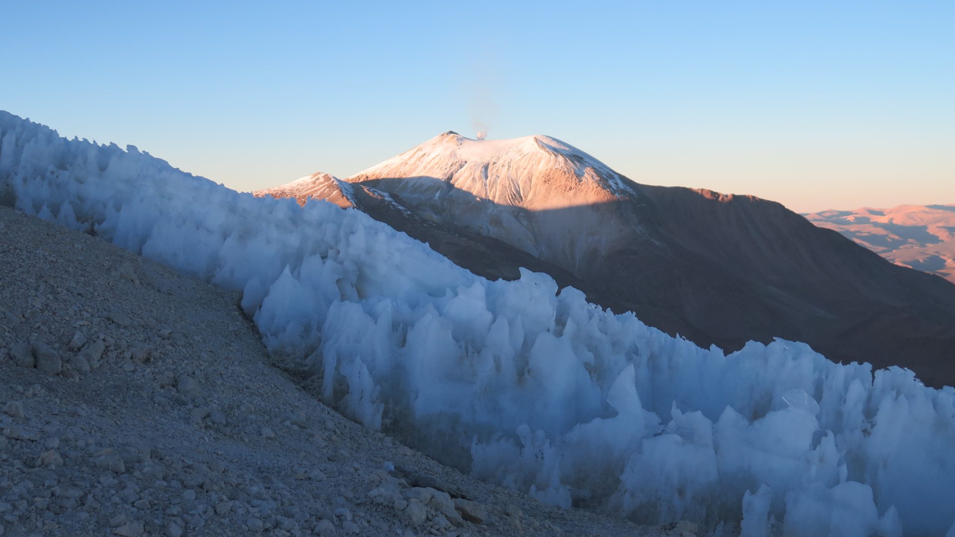
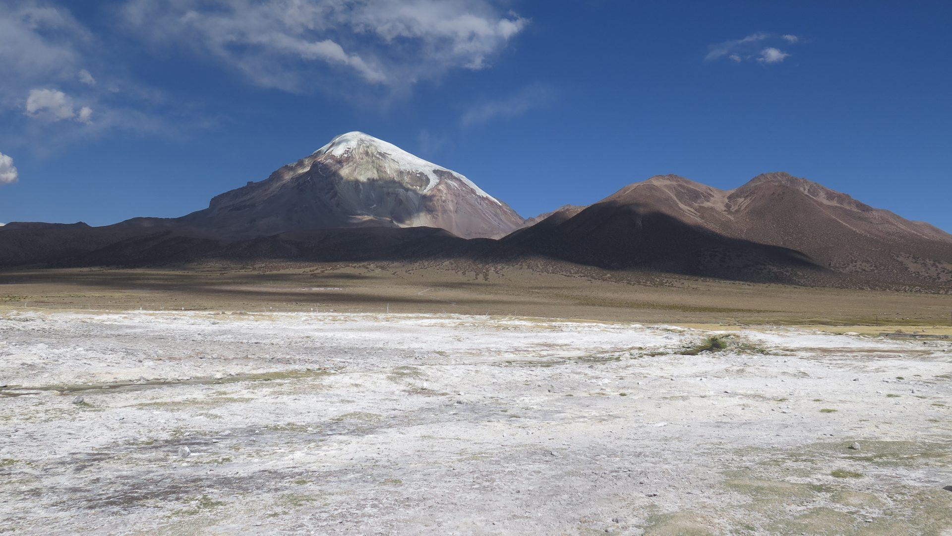
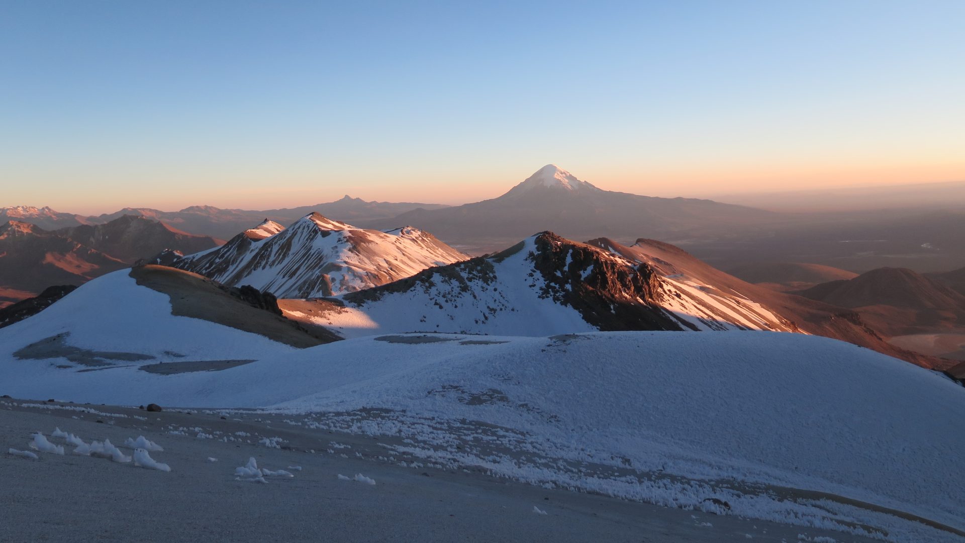
Located in the Cordillera Occidental, south of Sajama Park, just on the border between Chile and Bolivia, the Acotango is part of a group of 3 volcanoes, the Guallatiri in Chile, one of the highest active volcanoes in the world and the Capurata which borders on 6000 and is also located just on the border. The Acotango, which rises to an altitude of 6032m, is of an accessible level, without any technical difficulty and with little elevation if compared to its neighbors in Sajama Park. An incredible view of the altiplano, the Sajama, the Payachatas and the Chilean National Park of Lauca awaits you when you reach its summit!

Overview
  • Duration 2 days
  • Transport Private vehicle
  • Site fees Comprise
  • Guide IFMGA english speaking guide (subject to availibity)
  • Altitude 6.032 m asl
  • Best time From May to October

Indicative price, excluding international flights. All nights, meals, guides and transfers included.

Plan my trip
Main stops
  • Breathtaking view over the different volcanoes and the highlands
  • An accessible 6000m mountain for sporty people without experience.
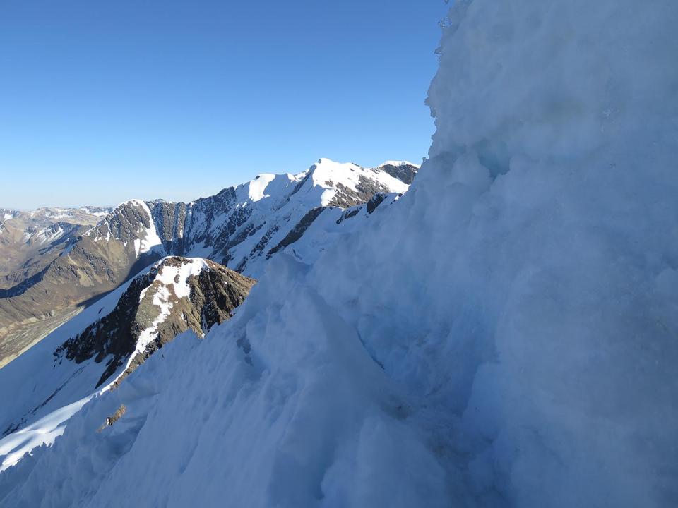
  • Beautiful ascent along a ridge formed by its open crater.
Day 1

LA PAZ / CURAHUARA DE CARANGAS / SAJAMA (4.250 asl / 13 943 feet asl.)

  • Start 08:00 am
  • Accommodation overnight at refuge
  • Meals lunch, dinner
  • Transport 4/5h

Departure in the morning and crossing of the Altiplano. On the way, discovery of the «Chullpas» (Pre-Colombian burial), and visit of the beautiful church of Curahuara de Carangas.Arrival in the Sajama Park for lunch. In the afternoon, discovery of the geysers site, and bath in the thermal springs. Night in Sajama village.
Day 2

ASCENT OF THE ACOTANGO (6.032 meters / 19 790 feet asl.) / SAJAMA / LA PAZ (3600 m asl / 11 811 feet asl.)

  • Start 04:00 am
  • Accommodation none
  • Meals breakfast, lunch
  • Transport 4/5h
  • Walk / Bike 5/6h

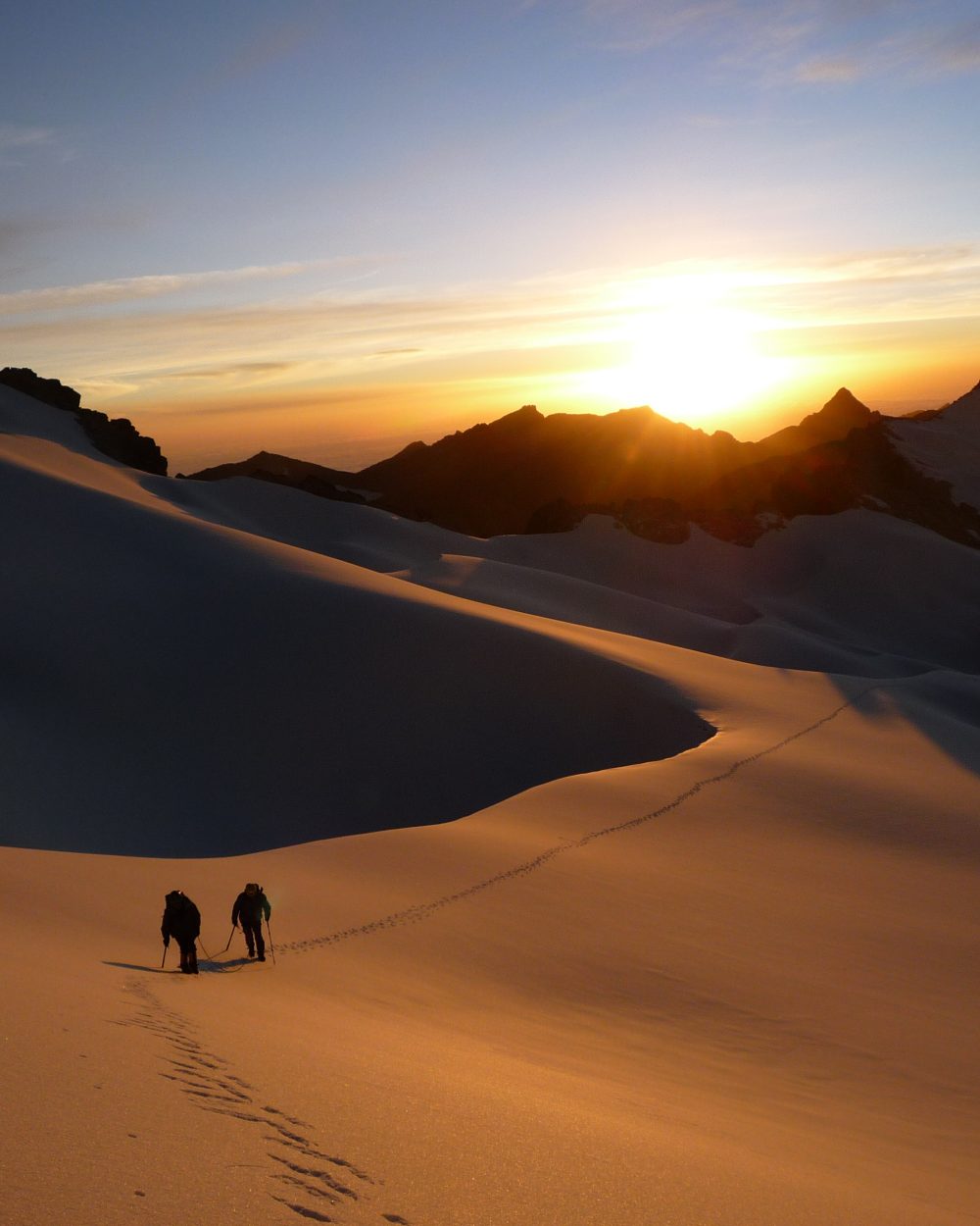
Ascent without technical difficulty (PD/I). From Sajama village: at 4:00 am, transfer in 4WD vehicle to the starting point of the climbing (5600 meters / 18 372 feet asl., 1h30 to 2h drive)The ascent is progressive to reach the edge of the rim around 5800 m / 19 028 feet above sea level. We continue on ridges until the summit (3 to 4 hours walk).Breathtaking view on Sajama as well as Parinacota and Pomerape volcanoes. 2 hours descent to the car on the same path. Back to the vehicle, then to the village of Sajama and back to La Paz by the end of the day.

Also worth a look

Other itineraries you might enjoy

Like this itinerary?

Reach out to adjust this itinerary to your pace,
your level, your wishes.

Plan my trip